
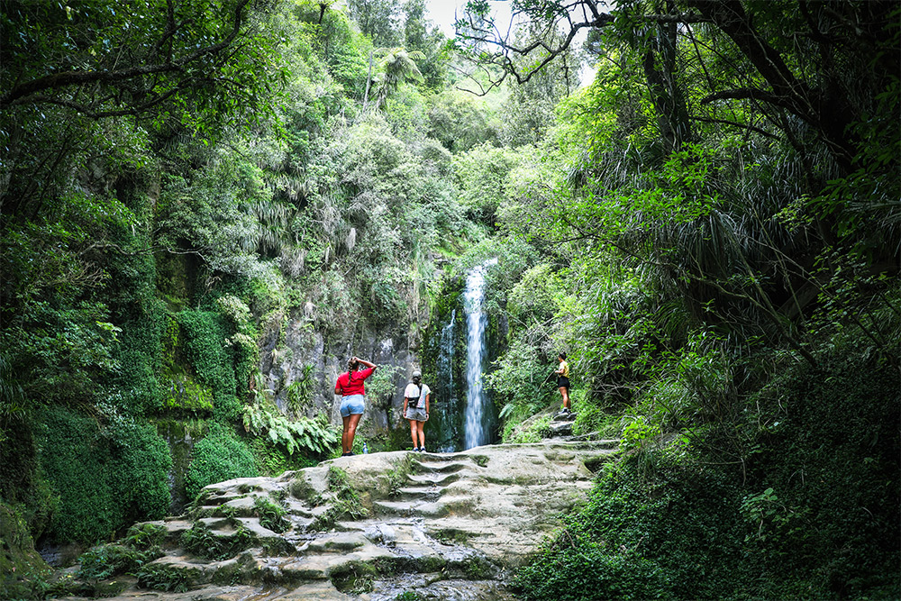
Our Catchments
Everything we do on the land, impacts the health of our water
Integrated catchment management changes the way we look at and manage natural resources, particularly land and water. Instead of looking at each resource in isolation, it considers how the management of one impacts another.
‘A healthy environment’ sits at the centre of what we do.
As a regional council, we have a responsibility to ensure the sustainable management of these resources. We do this by taking a whole of catchment approach, looking at land use from ‘source to sea’ – from high in the hills to down on the plains.
By partnering with tangata whenua, landowners, volunteers, industry and community groups, we are helping to protect and restore biodiversity, improve water quality, manage pest plants and animals and support local communities to adapt to a changing climate.
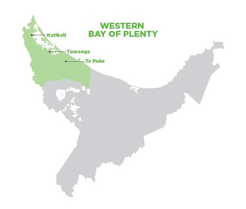
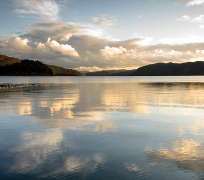
Western Bay of Plenty Catchments
From Waihī Beach to Pukehina and across to the Kaimai Mamaku Conservation Forest, the Western Bay of Plenty has faced the most significant changes to land use.
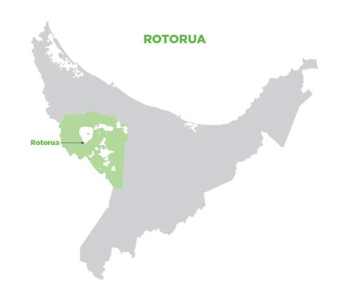
Rotorua Catchments
The Rotorua Lakes are a taonga (treasure) to the people of Te Arawa. Steeped in Māori history, the lakes are nationally significant to all New Zealanders
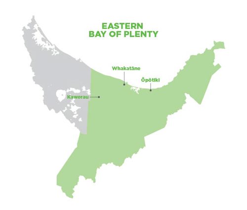
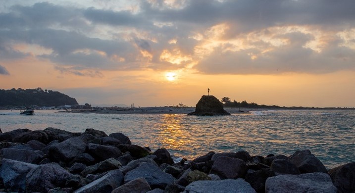
Eastern Bay of Plenty Catchments
From Otamarakau to Whangaparoa on the East Coast and all the way inland to Rangitaiki, the Eastern Bay of Plenty is our largest catchment.
Our freshwater is a precious resource. It is essential to life, work and play. At Regional Council, we are responsible for managing and enhancing freshwater resources in the region. We do this by:
- Monitoring and managing water use and takes to ensure our waterways stay healthy.
- Leading and supporting a range of scientific monitoring and research work to improve understanding about freshwater sources.
- Making changes to regional policies and rules to manage freshwater better in the Bay of Plenty.
- Working with partners and stakeholders to improve water resources for future generations.
To ensure our waterbodies are left in a better state for the future, we must prevent excess nutrients from entering them. To be successful, we need to work together as a community to improve the way we use our land.
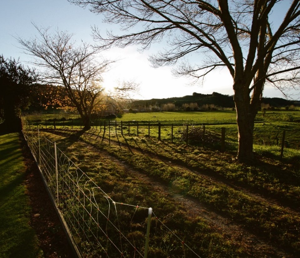
Our land is under pressure through changes in land use along with adverse effects from pollution, climate change and invasive species. At Regional Council, we have a responsibility to ensure the sustainable use of our land. We do this by:
- Making changes to our regional policies and rules to sustainably manage land use.
- Partnering with landowners on Environmental Programmes to improve land use and mitigate effects on our freshwater resources.
- Working with the community to reduce the impact of pests.
- Identifying Priority Biodiversity Sites (PBS) around the region to focus our efforts.
- Working closely with more than 65 volunteer community care or catchment groups to improve biodiversity in their own backyards.

Care group and landowner projects
Restoring biodiversity and improving water quality couldn’t be done without our community.
Volunteers undertake some of the most crucial work across our vibrant region. Every year thousands of people roll up their sleeves and get to work helping protect our wai (water), whenua (land) and kararehe (animals).
Funding opportunities
All around the rohe, there are many environmental projects led by locals - people who are planning and acting with inspirational vision and commitment for the future - but we know what a barrier cost can be to starting some of these projects. That’s why we have a range of funding opportunities to help you get started. So, if you’re looking to make changes on your property, school or even just your local area, take a look at the support we offer through community funding.
Latest projects
We are regularly working with landowners and care groups around the region to enhance biodiversity and improve water quality.
EASTERN BAY OF PLENTY
Whakatāne – Ōhope EP
The Whakatāne-Ōhope Environmental Programme aims to restore and improve five sites for form a broken sequence of indigenous forest corridor that extend from the coast inland to Te Urewera and are home to a number of threatened floral and fauna.
WESTERN BAY OF PLENTY
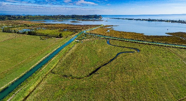
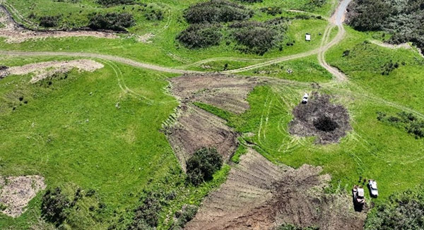
Cutwater Road Wetland
Cutwater Road wetland sits on the margins of the Waihī Estuary, between the Pongakawa River and Pukehina Canal. Together with iwi collective Te Wahapu o Waihī, we are working to transform 30ha of farmland into a wetland to help improve the estuary’s health.
ROTORUA LAKES
Winiata Wetland
Winiata Wetland sits roughly 10km south of Rotorua at the top of the Puarenga catchment. This wetland design seeks to optimise nitrogen-removal from the local catchment as well as improve biodiversity in the area.